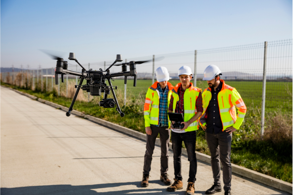
5 Best Mapping and Survey Drones
Aerial mapping with drones is revolutionizing the surveying, construction, and agriculture industries. Drone and satellite technology advances will bring new types of maps and geospatial data. This will create creating new possibilities for businesses and entrepreneurs. For more information see our article “Aerial Mapping With Drones: A Business Perspective“ There are 7 key features you’ll […]
5 Best Mapping and Survey Drones Read More »


